
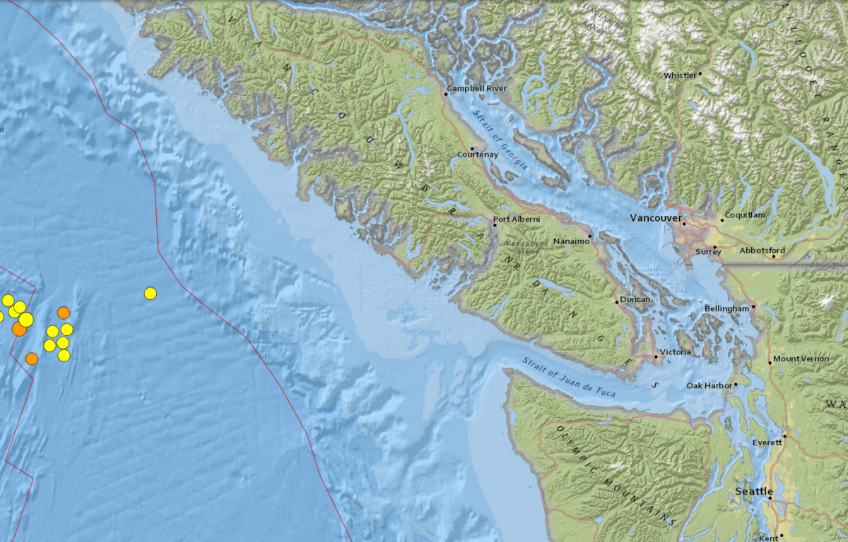

VANCOUVER ISLAND, CA (MyBellinghamNow.com) – A series of earthquakes shook the waters off the coast of Vancouver Island in early July.
The United States Geological Survey (USGS) recorded 14 earthquakes between 1 p.m. Wednesday and 10 a.m. Friday.
The earthquakes were recorded above a 4 magnitude with the largest recorded having a 5.7 magnitude on Thursday morning. Several people reported to USGS feeling the shaking from the largest quake, which was the closest to the shore out of the 14.
Each earthquake took place in a roughly 30-mile radius about 138 miles west of Vancouver Island.
The cluster was centered on the northern Juan de Fuca Spreading Ridge and the Sovanco and Nootka Fault Zones.
The disturbances were recorded at over six miles below the ocean floor with one over 24 miles below.