
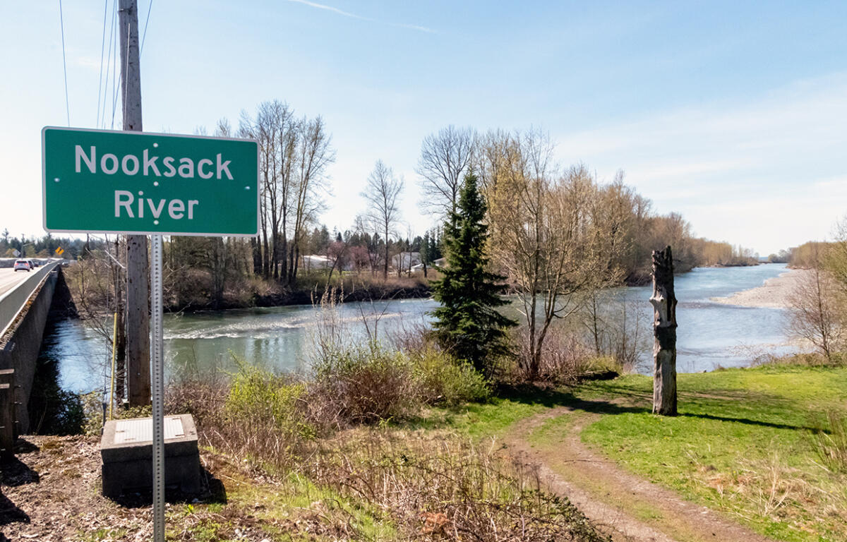

WHATCOM COUNTY, WA (MyBellinghamNow.com) – In the wake of yet another round of devastating flooding last year, a team of researchers and local officials are working together to assess risks and fix the problems the Nooksack River sees time and again.
Earlier this month, 65 representatives from tribal, local, state and federal agencies and governments came together to discuss their plans of action to manage the Nooksack. Known as the Flow Split Reach Team, their meeting began the work to construct an early action plan.
This comes as a university-led study gets underway to study the potentiality of an avulsion in the Nooksack River.
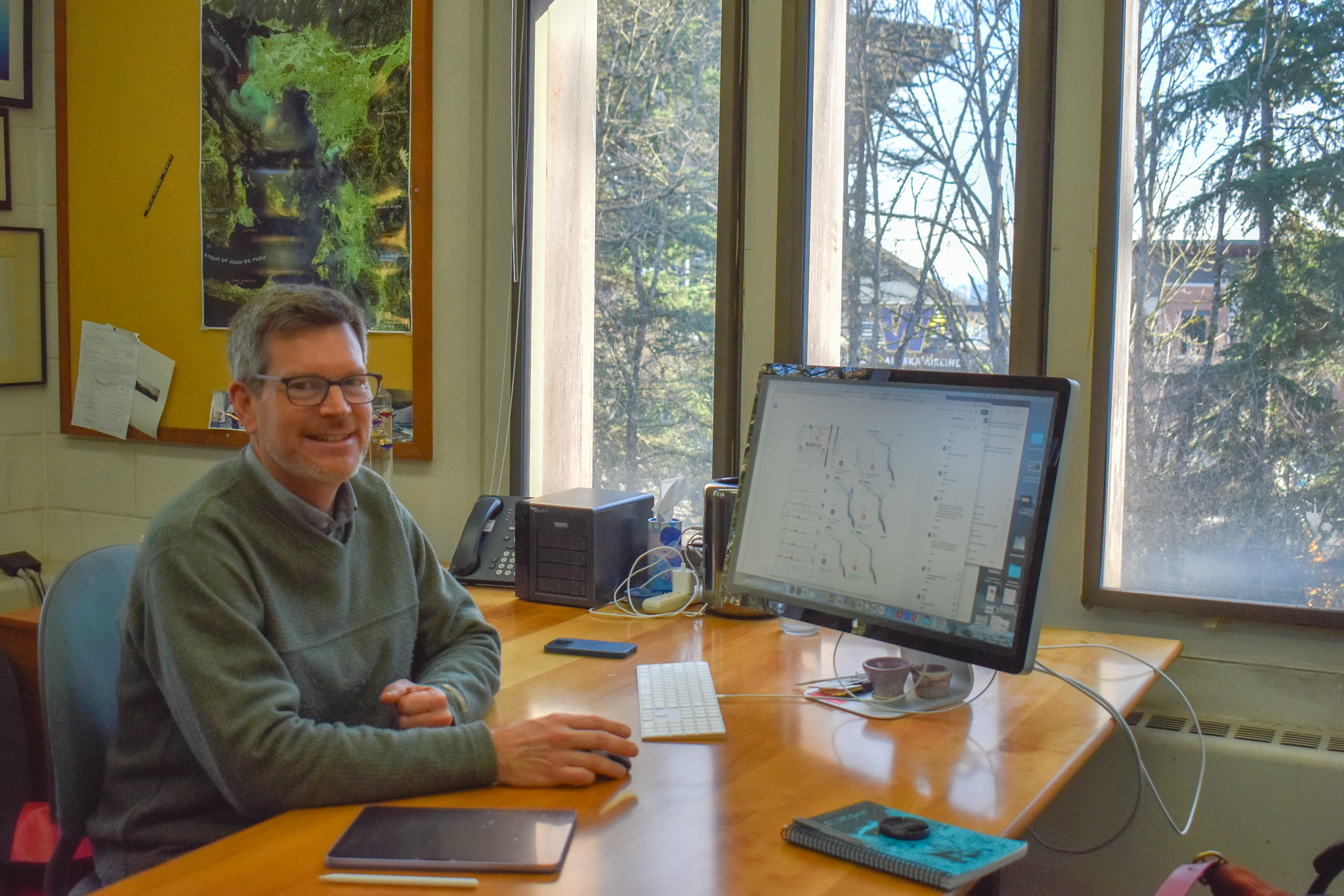
The National Science Foundation (NSF)-funded study began in fall 2025 after a several-month funding delay. University of Washington (UW) professor Dr. Alexander Horner-Devine leads the team along with several researchers at UW and Western Washington University (WWU).
“This actually grew out of a previous NSF-funded project. That previous project was looking at how the movement of sediment in rivers, broadly in the Pacific Northwest, can contribute to flooding,” Horner-Devine said. “We have all these volcanoes. They shed a lot of sediment. That sediment is carried down the river system, and it tends to pile up in the channels when it gets into the flatter floodplain areas.”
In an interview with Everson Mayor John Perry, he raised concerns over an avulsion to the river after a potential massive flooding event. Avulsion is the process where a water body changes course, diverting in a potentially drastic direction.
In the case of the Nooksack, it may move to reconnect with the Fraser River in Canada. That is not raising alarm for Whatcom County’s Flood Planning & Mitigation Manager Paula Harris. Harris told My Bellingham Now that she doesn’t think an avulsion will happen as the county has done the work to maintain a bank line on the Nooksack, preventing such an event from occurring.
“[The researchers] came up with some probability of an avulsion during a 100-year event. But there was really no scientific basis for it. It was based on professional judgment,” Harris said.
Horner-Devine said the Nooksack once was a tributary to the Fraser, carving up through a corridor that now houses the cities of Everson, Sumas and Abbotsford. Though the chances of such a catastrophe are low, the work to study the Nooksack’s historical avulsion is lending valuable research tools to Whatcom County’s flood response team.
“The modeling that UW is [using] requires a supercomputer to use. So, this is new technology, and we’re also going to use them in, you know, they have this science grant for the avulsion study, but they’re also working with us, in a contract,” she added.
Horner-Devine and co-lead researcher Dr. Alison Pfeiffer at WWU walked My Bellingham Now through some of the potential models they have looked at for what an avulsion would look like. Would it be gradual, or could a catastrophic event change the landscape of the region? Their research will be looking at this question among others over the next four years.
“The Nooksack is wild and weird, and I think that if people are confused about why flood managers can’t just fix this problem, we should give them a little credit.” Pfeiffer said. “They are dealing with an incredibly challenging and wily river and using traditional flood management tools is going to be potentially fraught here, just because the river channel itself is changing so rapidly and it’s working with a landscape template that is very peculiar.”
Pfeiffer and her students WWU have been working on studying the Nooksack and its changes over the years for some time now. A project that her student Olivia Petralia worked on created a LIDAR map of a portion of the Nooksack. That imaging shows how the Nooksack has moved significantly, jumping from near State Route 9 to its location that is now known as the Everson corridor.
We will not need to wait four years for some of their findings to be used by local flood managers, however. Harris and her team meet weekly with Horner-Devine and Pfeiffer as part of their contract and partnership.
Horner-Devine noted that the Nooksack is what he calls a “standout” compared to other rivers in the region, carrying a higher amount of sediment in its body than other rivers of its size. He’s studied numerous rivers in the Puget Sound and has had interest in the Nooksack for years according to Pfeiffer.
Opinions around how to handle sediment build-up are coloring a lot of conversations in the county following the flooding in December. The Whatcom Republican Party has called for dredging or scalping of the river as a way to increase capacity in the river.
A 2005 report estimated the amount of sediment that would need to be removed from the river to account for a so-called “100-year flood” would be over 11 million cubic yards between Nugent’s Corner and Lynden. As costs rose in the late 1980s to continue scalping, or removing material from the sides of the river, gravel companies operating in Whatcom County started to shift away from their work on the river.
Washington Department of Ecology spokesperson Scarlet Tang said in an email that any action on the river to remove gravel or sediment would likely require local, state and federal permits. If the party in question were to dip below the water line during work, they would also need a 401 Water Quality Certification for that work.
Scott Anderson with the United States Geological Survey (USGS) is currently studying the river’s geomorphology since the end of the dredging in 1990. The work is early days, and Anderson said in an email that he cannot elaborate more on his work until the study has been reviewed and published.