

WHATCOM COUNTY, WA (MyBellinghamNow.com) – Stormy weather is heading to western Washington this week.
The National Weather Service (NWS) in Seattle says that post-frontal showers will continue through early Tuesday, Nov. 12., along with winds of up to 35 mph and gradual rises in rivers.
Snowfall is expected above 4000 feet and may impact SR 20 and Washington Pass. Upwards of 3 feet of snow are expected for Mount Baker.
For western Whatcom County, 1.5 to 2 inches of rain is predicted for the Bellingham area, while 2 to 3 inches are predicted for farther north in Lynden. The NWS is warning of likely ponding on roadways.
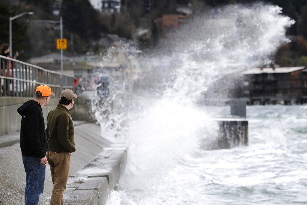
Moderate waves will hit Bellingham Bay on Monday night into Tuesday, Nov. 12.
A stronger storm system will hit western Washington late Tuesday through Thursday, Nov. 14. Winds may reach up to 50 mph, and the Skokomish River is expected to reach Moderate Flood stage.
Seas are expected to rise 14-20 feet, but high surf impacts will be limited. Minor coastal flooding is possible. The coast may also see thunder through Wednesday, Nov. 13.
The NWS predicts another potentially strong storm system over the weekend.