

North Cascades Highway remains closed between Granite Creek and Easy Pass due to the Easy Fire’s proximity to the highway.
Those attending the Northwest Washington Fair or participating in other outdoor activities are advised to be prepared for heat and sun exposure.
The fire is still 0% contained and is expected to burn into October.

Lynden and Everson are both forecast to hit 90 degrees on Thursday.
The fire is still 0% contained and is expected to carry on into October.

The Easy Fire caused SR 20 to close for multiple days and is estimated to continue to burn until October.
The pilot last communicated the crews on Thursday evening. The Falls Fire in Oregon has burned 219 square miles.
Fire managers were able to fly over the fire on July 19 and accurately map its size. Highway 20 has reopened, but drivers are warned against stopping along their route.
The fire is burning around 300 acres as of Thursday afternoon and is currently 0% contained.
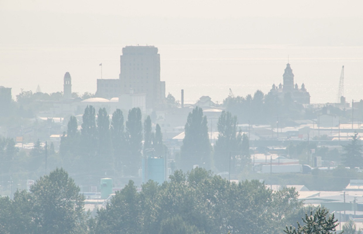
The National Weather Service predicts that dry summer temperatures may bring some serious heat and fire danger to the Cascades.