
Listen to current interviews from AM 790 KGMI for updated information from local officials.
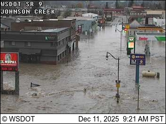
Gages Slough is flooding into homes in Burlington, according to Skagit County officials.
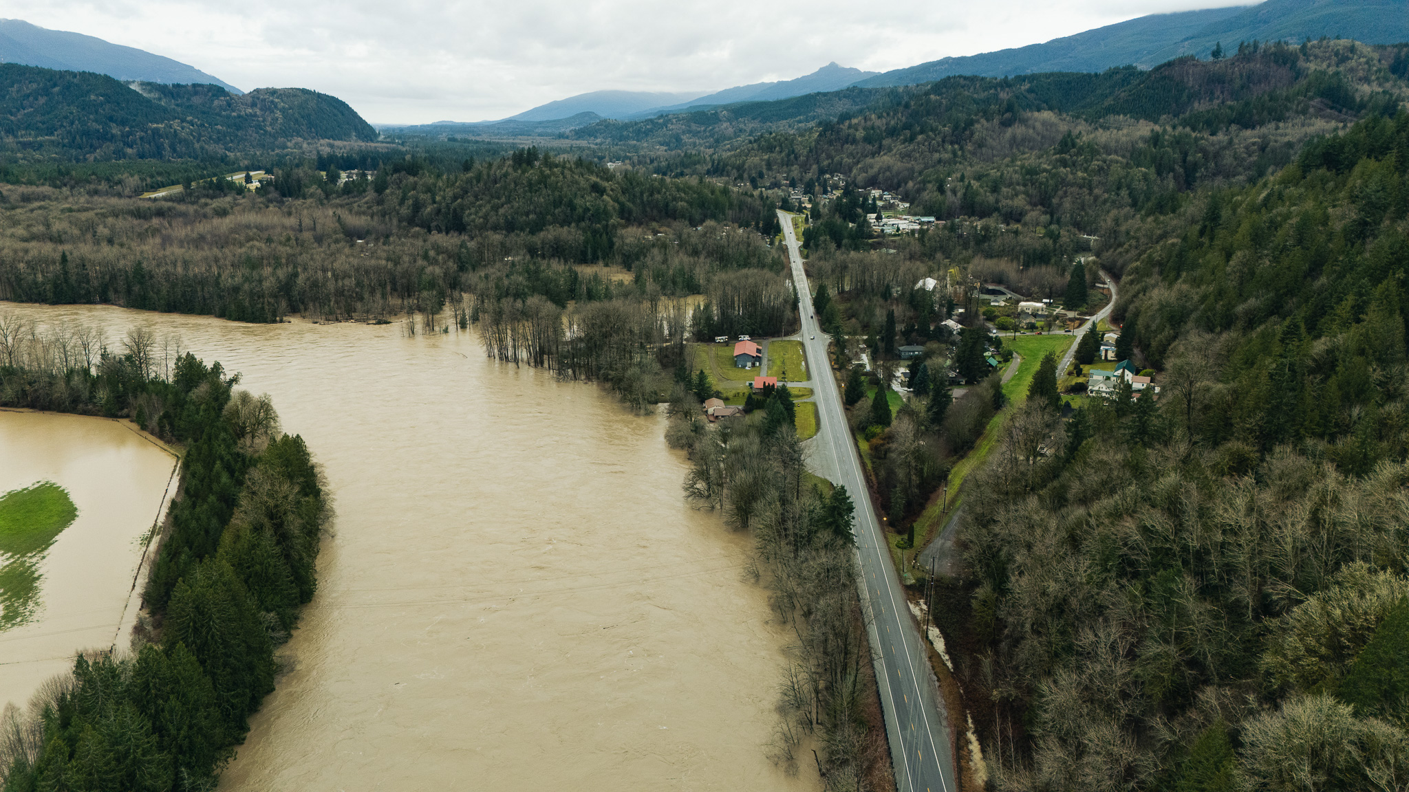
County officials say a Wednesday night landslide in Kendall damaged one home, several bridge closures and potentially the Twin View levee.
Gov. Ferguson says the situation is extremely unpredictable, and the next few days are critical.

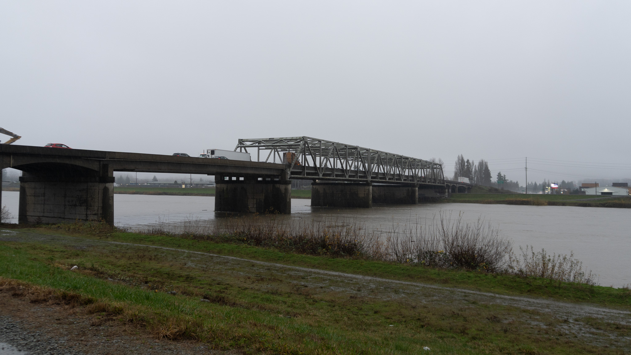
The Nooksack River is expected to crest at just over 23 ft., which puts it slightly over major flood stage levels.
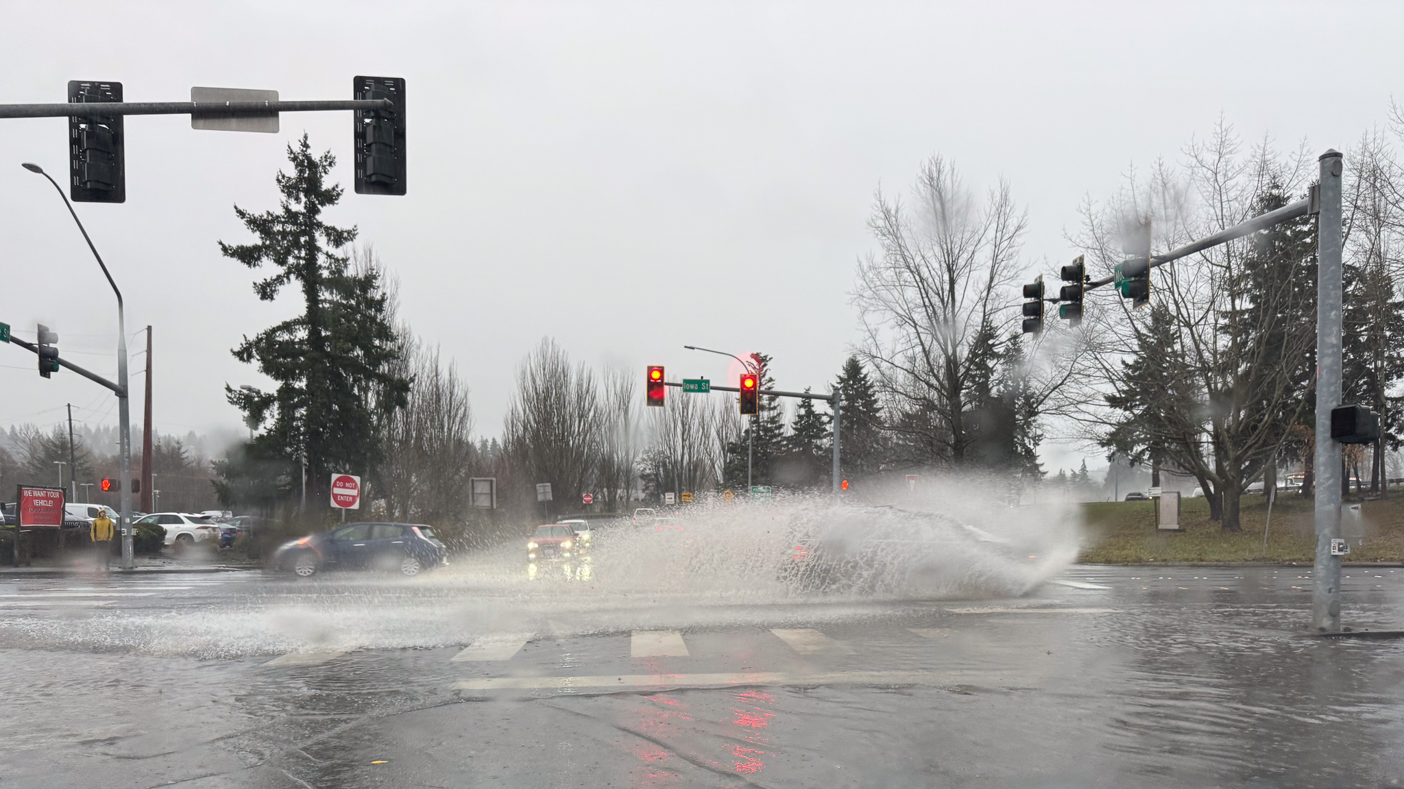
County officials are urging drivers not to drive past road closed signs.
The Nooksack River at North Cedarville crested early Thursday morning and is expected to fall back to action stage later in the night.
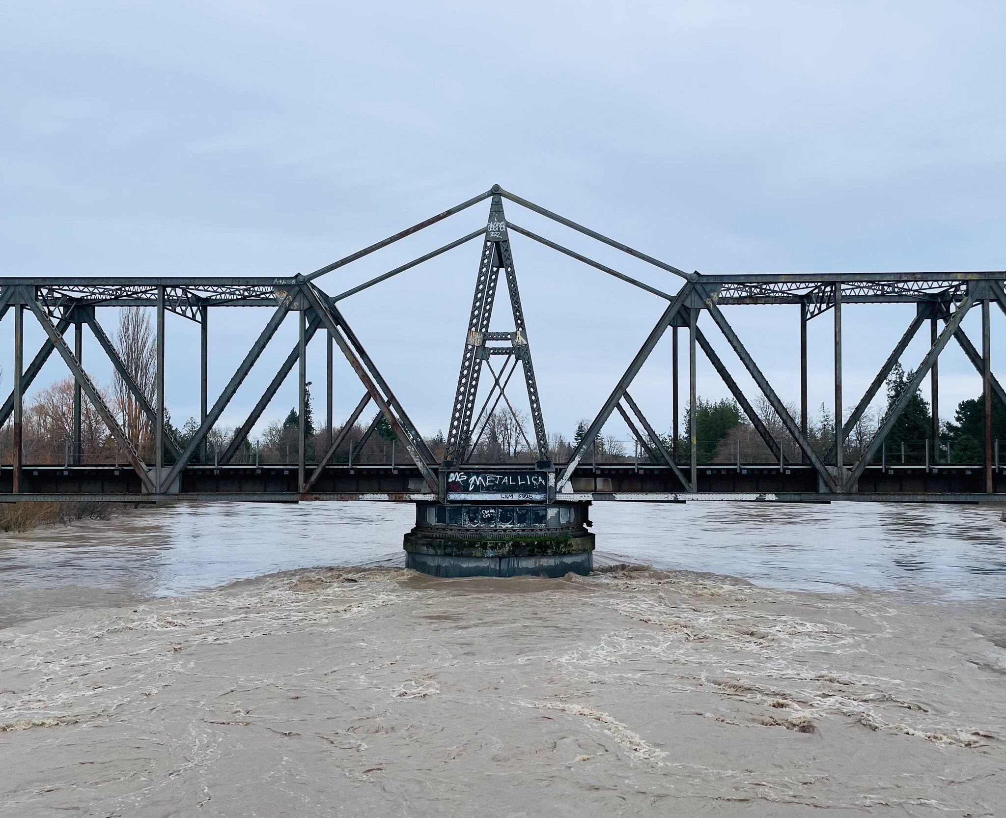
The NWS has issued a flash flood watch for the Skagit River Basin due to potential levee and dam failures.
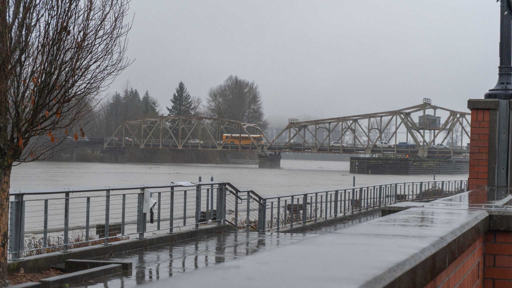
The Division Street Bridge to and from West Mount Vernon is closing at 6 pm on Thursday.
The Nooksack River at Ferndale is expected to see the most flooding when it crests around 21 ft. on Thursday afternoon, which puts it just above the moderate flood stage.