
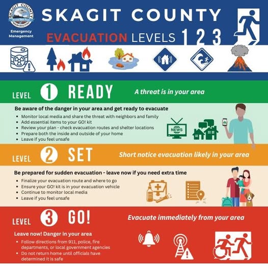
Anyone in the impacted flood areas should secure their belongings and property, get a go bag ready and have an evacuation route planned.
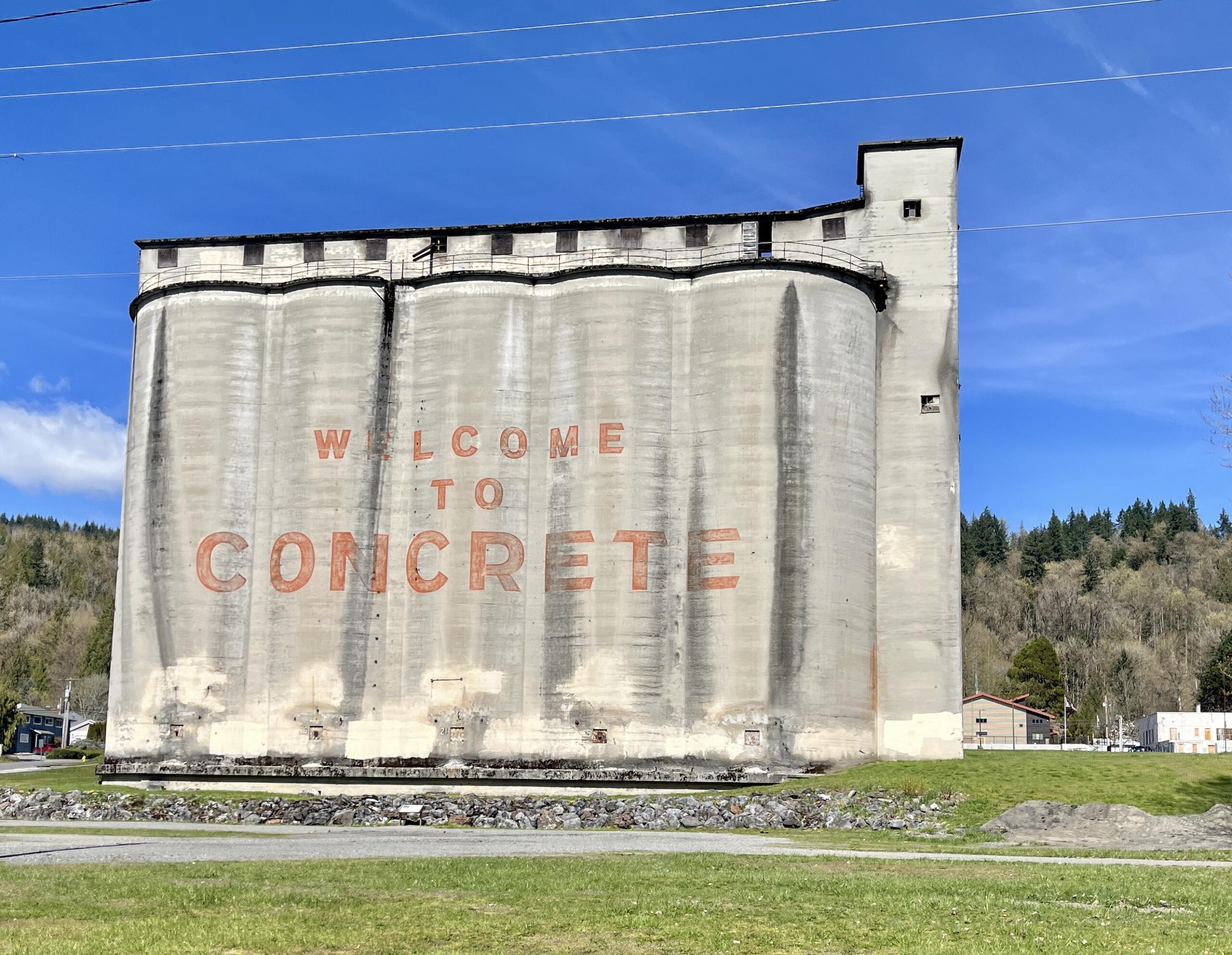
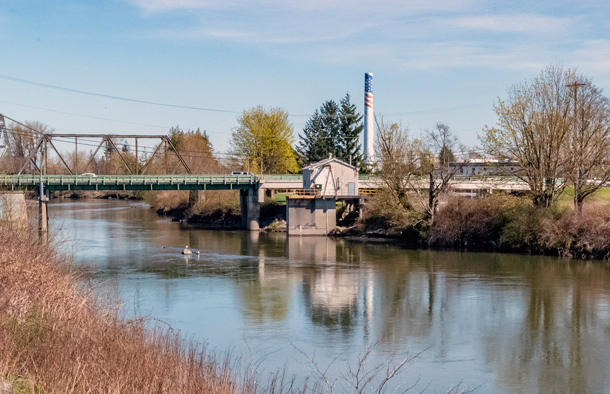
Communities often impacted include Marblemount, Rockport, Concrete, Hamilton, Lyman and surrounding areas.
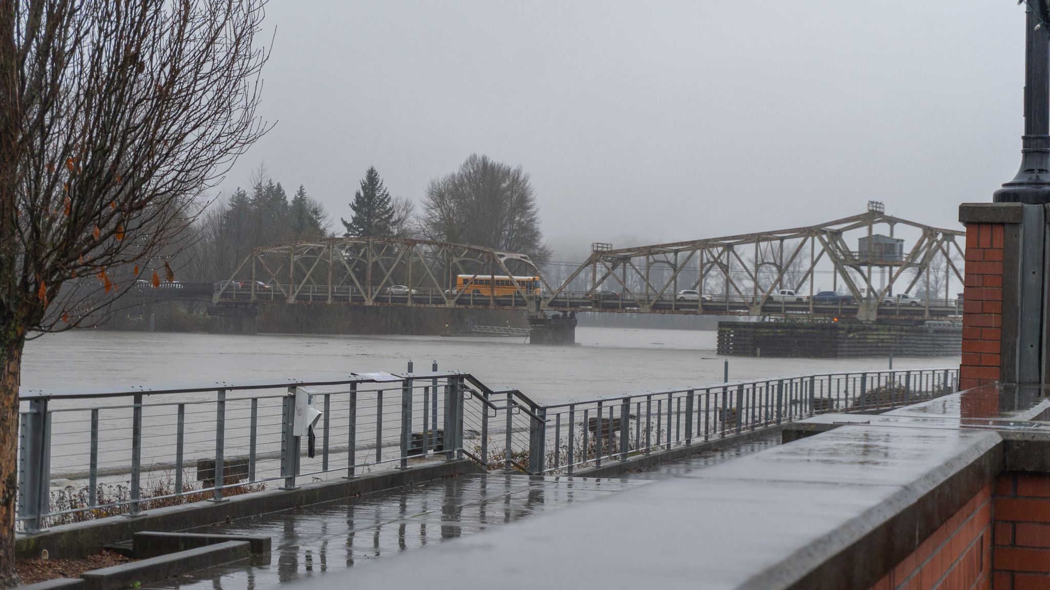
The National Weather Service has issued a flood warning for Skagit County until further notice.
Whatcom County has closed multiple roads due to weather/flood conditions.
With snow levels at around 5,000 to 6,000 ft, the NWS is also warning residents of the elevated risk for landslides from heavier rainfall runoff in these areas.

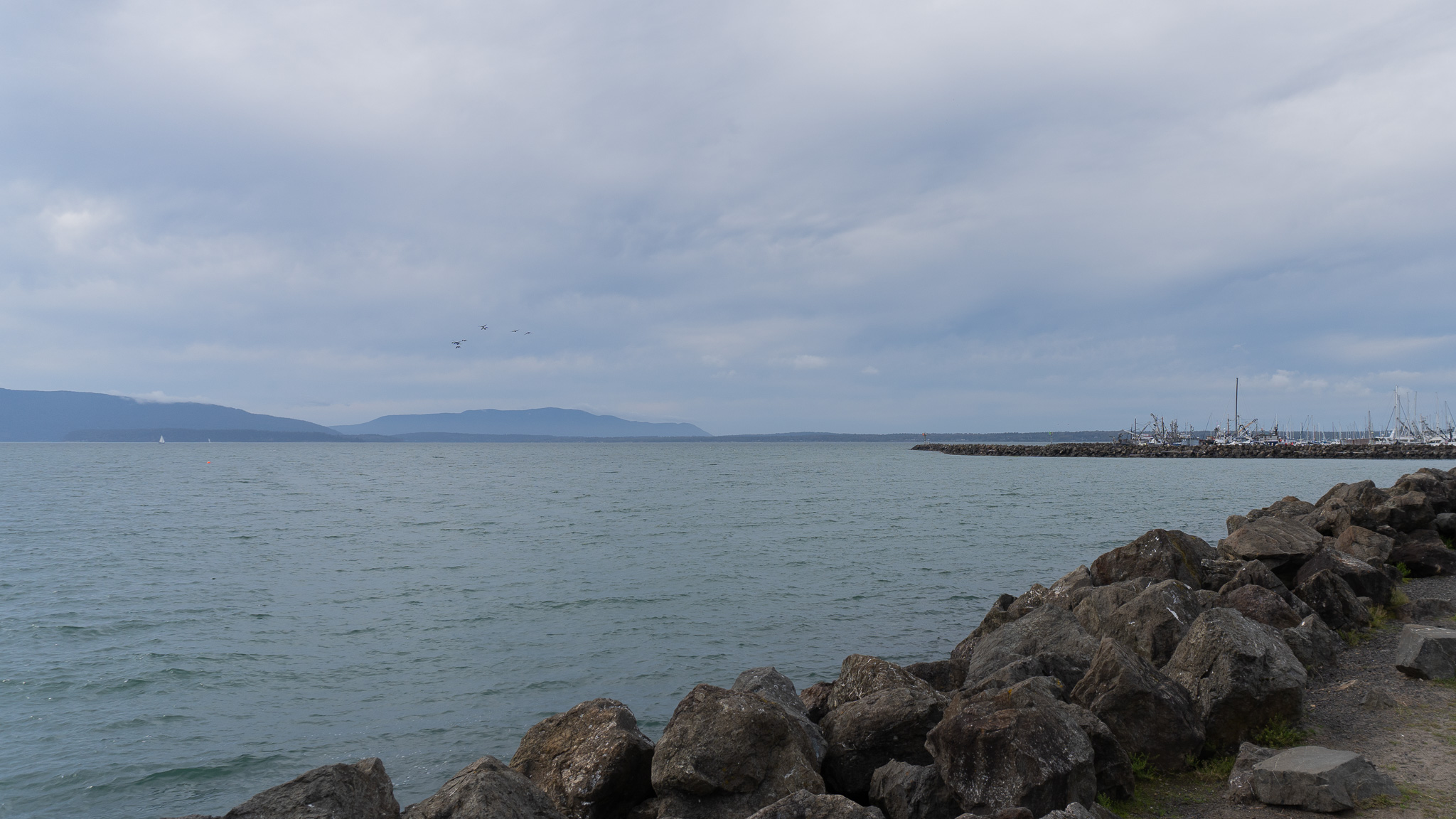
Forecasters have issued a coastal flood advisory for Saturday morning.

Tides could rise over 9 feet during the lunar phase.

Crews expect snow showers starting Friday, and with current snow loads in avalanche paths, WSDOT says it’s time to lock the gates.

The Mount Baker Ski Area is hopeful for a forecasted 40+ inches of snow, but no opening date has been announced yet.
Forecasters warn of snow-covered roads on the Snoqualmie and Stevens Pass this week.