
Wind gusts could reach as high as 40 mph throughout western Whatcom County.

The snow could make travel difficult, so drivers in those areas are being urged to slow down and use caution.
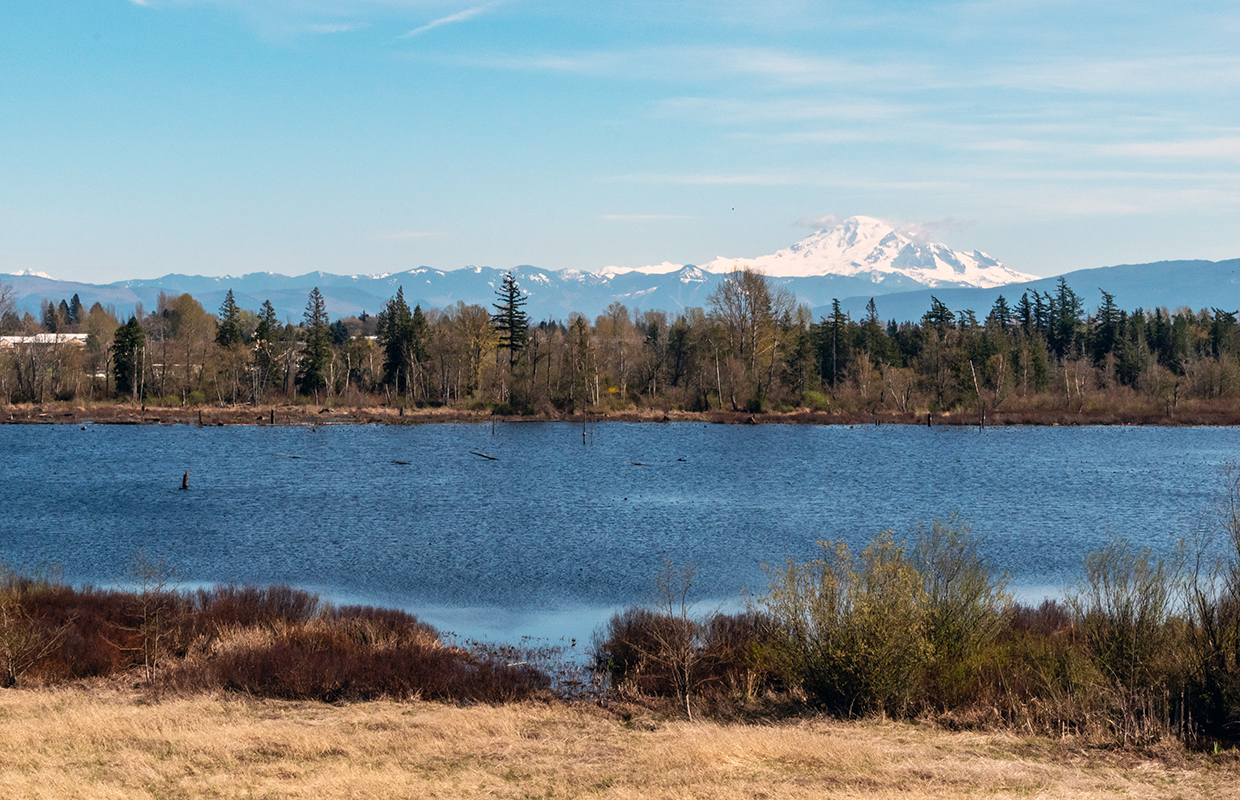
Light snow is in the forecast starting on Tuesday through Sunday in the Cascades above 1500 ft.
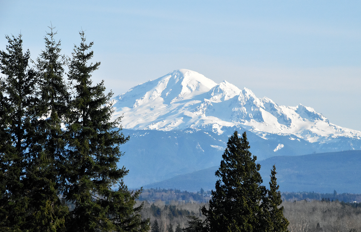
The region could also see some snow fall across the North Cascades, but snow levels aren’t expected to drop until Sunday.

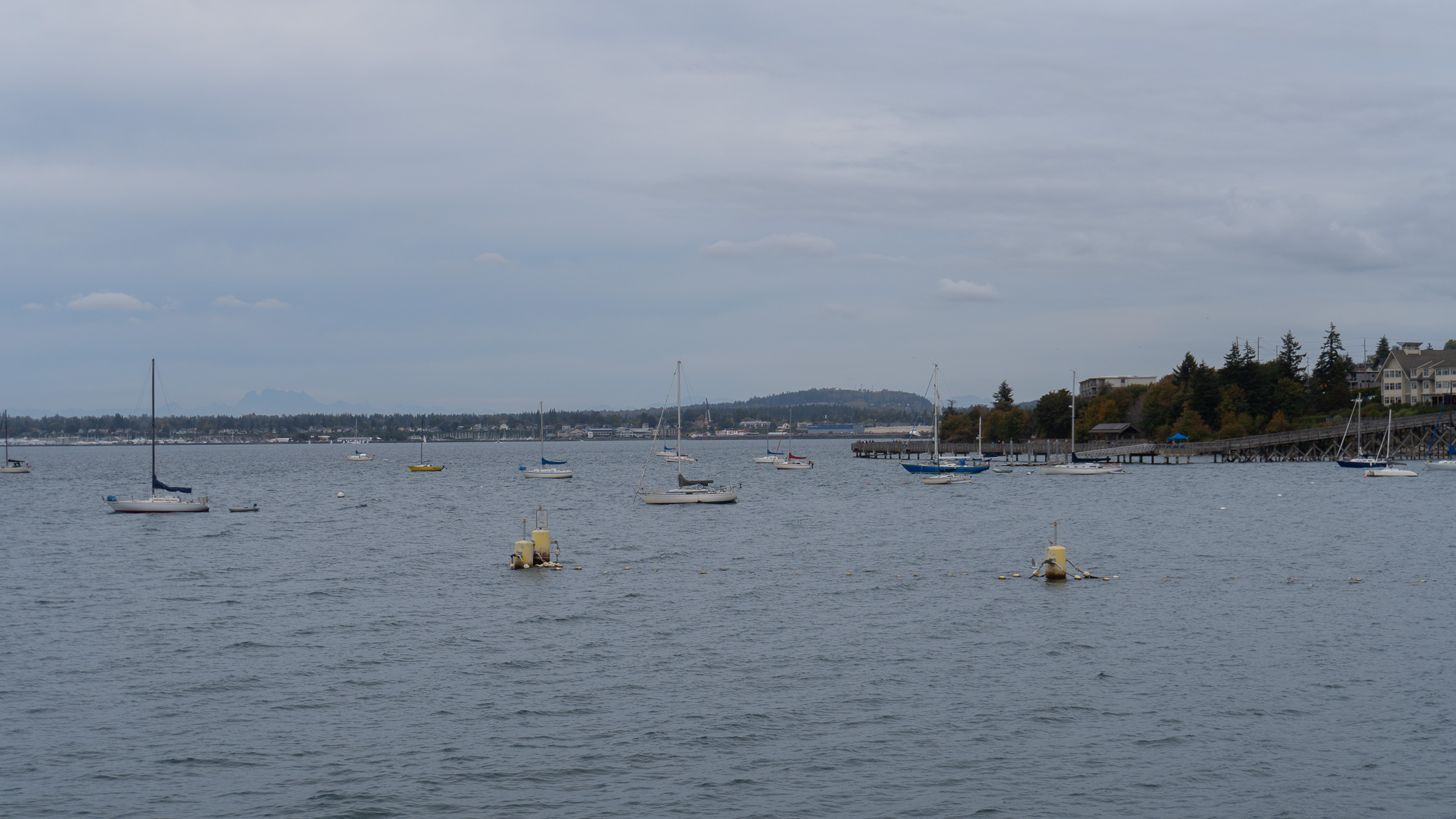
Winds could reach up to 55 mph this weekend, with rainy conditions forecast for much of Whatcom and Skagit Counties.

Residents in impacted areas are urged to secure loose outdoor objects and secure any vessels on the water.
The first of two storm systems will hit the region on Wednesday, with winds reaching upwards of 35 mph.

About 2-4 inches of snow is expected in the higher elevations of the North Cascades through Monday night.
The weather could also make for a windy few days in Whatcom County, with coastal winds reaching up to 35 mph.
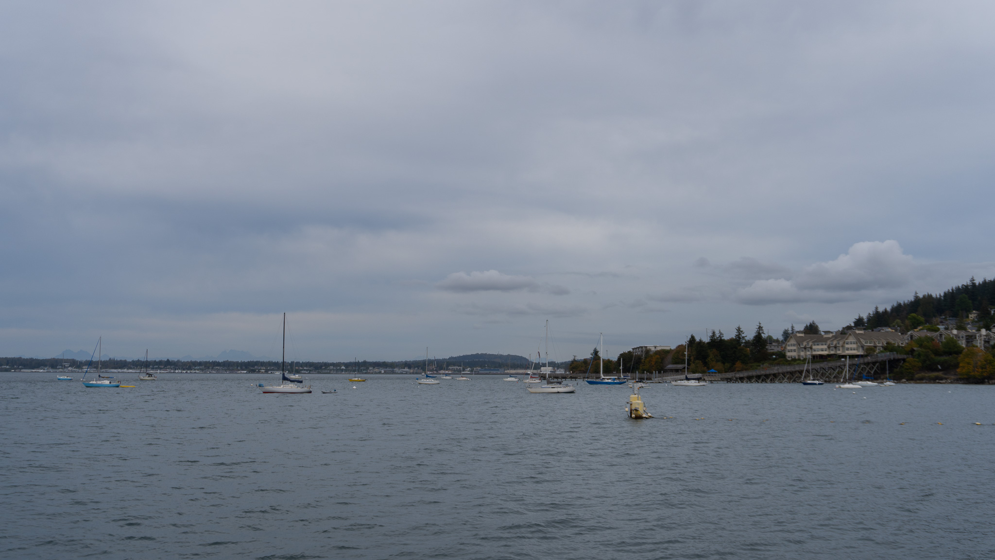
As winds are predicted from the southeast, Point Roberts and Sandy Point should see some of the strongest winds, but most of the coast will be affected.