

Rain clouds will likely clear after Monday.

The ski area has received more than 10′ of snowfall in March including 6′ in the past week.

A warmer weather system is also in the forecast for the beginning of next week.

Wind gusts could also reach up to 40 mph with 12-20″ of snow in the forecast.
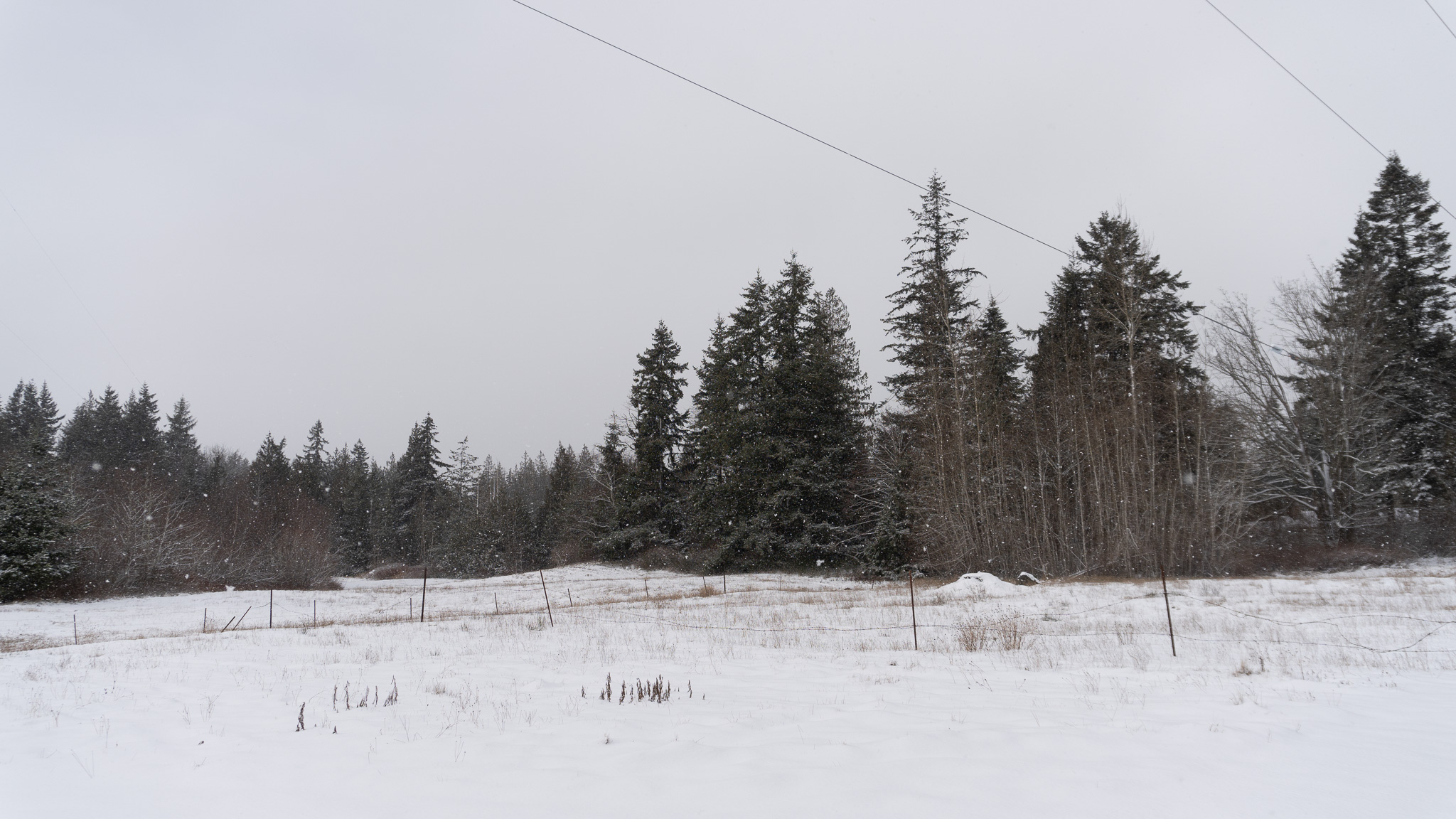
Forecasters say elevations above 2,000 ft. will get 12-18″ of snow. Areas include Deming, Maple Falls and the Mount Baker Ski Area.
Forecasters say local areas like Deming, Maple Falls and the Mount Baker Ski Area will get between 3-11″ of snow.
Temperatures are also forecast to cool next week, meaning that heavy snowfall is most likely for the mountains.

The U.S. Geological Survey rates the earthquake that struck near the town of Sechelt, 72 miles north of the U.S./Canada border, at magnitude 4.8.
Whatcom County is expected to receive up to two inches of rain throughout the weekend.
Temperatures on Monday night into Tuesday morning are forecast to break Bellingham’s overnight low record of 17 degrees.