×
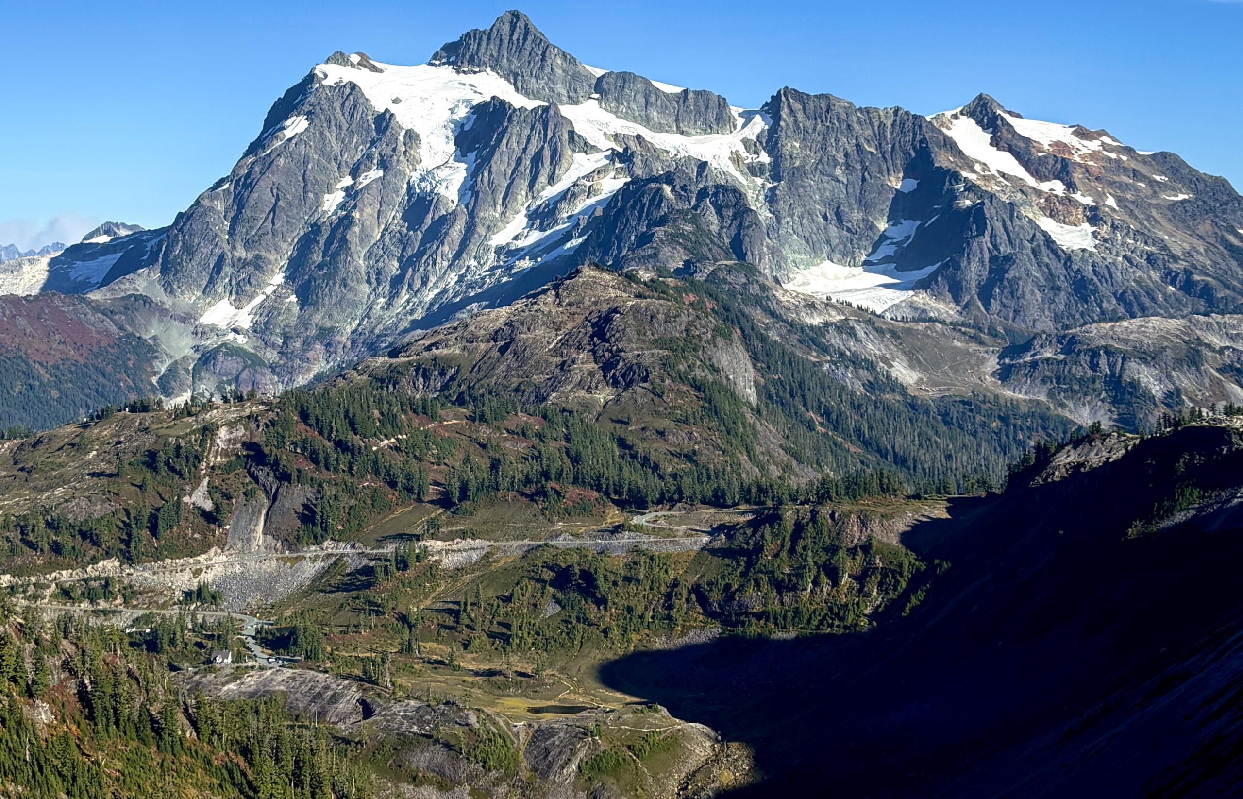
Snowy mountain rising above a dense forest along a calm lake under a blue sky with scattered clouds.
Outdoors
2 weeks ago
Forest Service announces road closures at Baker Lake, Glacier Creek

Glacier Creek Road will be open to pedestrian traffic at the Forest Service’s discretion.

Snowy, jagged mountain ridge veiled in thick fog and pale blue sky above.
Local
2 weeks ago
Efforts intensify to find missing hiker on Twin Sisters Mountain

On Sunday, Snohomish County Helicopter Rescue Team flew a crew to the South Twin Sister peak in an effort to search the mountain’s glacier on foot.

Small bright sun in a hazy orange sky, suggesting sunset or sunrise.
Health and Wellness
2 weeks ago
BC wildfire causing smoky air conditions in Whatcom County

The fire has been burning north of Hope, B.C. since Thursday, July 2.

Snowy alpine mountains with a dense forest in the foreground under a blue sky with white clouds.
Weather
2 weeks ago
Warm, sunny weather predicted for 4th of July weekend

Forecasters warn there could be some strong winds though, with a good chance of gusts exceeding 20 mph.

Man wearing a dark gray hoodie and black joggers stands on a patio in a garden, sunglasses on.
Local
2 weeks ago
Rescuers search for missing Canadian hiker in North Cascades

34-year-old Gursimran Singh was last known to be hiking South Twin.

Colorful fireworks exploding in the night sky against a black background.
Local Experts
3 weeks ago
Avoid breathing fireworks smoke when celebrating the Fourth of July

WHATCOM COUNTY, WA (MyBellinghamNow.com) – July marks the 250th “birthday” of the United States of […]

Environmental
3 weeks ago
Latest water supply update paints murky future for drought conditions in Washington

The state is on track for its third warmest water year on record.

Local
3 weeks ago
South Whatcom Fire Authority to limit emergency response outside jurisdiction

Response times could rise around Lake Whatcom, Lookout Mountain, Chuckanut Mountain and parts of Galbraith Mountain.

Dedicated To Service
3 weeks ago
Hiker rescued on Mount Larrabee following over 100-foot fall

Rescue crews had until sunset to find the group due to their remote location.

Aerial map of the Swift Creek watershed near Nooksack, showing floodplain in light blue and a large orange-yellow area to the east.
Outdoors
3 weeks ago
Ecology issues asbestos reminder near Sumas Mountain

Recreationists are urged not to disturb any creek beds or sediment piles in the area.